The Big Trip - Bear Glacier to Dease Lake
 Bear Glacier cutting through the valley.
 And emptying into Strohn.
 Entering Stewart.
1702 km - Stewart, BC and we have just now reached gas more expensive than Victoria at $1.40/L.
 The paved road ends at the border.
 Good advice while in the Tongass National Forest.
 This pylon is all that marks this particular border crossing. Easily the least intense American border crossing we've ever been a part of.
 End of the road. Even in June the road to the edge of the glacier was snowed in.
 The Salmon Glacier in all its awesome glory.
 Marmot sighting!
 Trapped! There was just enough room to manoevre around this rock slide.
 Swords?
1767 km - Just leaving Stewart now. So far today we've crossed the Can-U.S. border four times and seen two glaciers and some marmots. Hyder, AK is the dustiest town I've ever been in, the Loon has gone from green to grey. Glaciers are awesome to behold, massive rivers of ice. Parts of them are white, some are a vivid light blue and other parts are dark with the earth they are dragging along. The road to Salmon Glacier from Hyder was pretty treacherous but we survived and the scenery was worth it. Today Alaska, tomorrow the Yukon, our trip kicks ass.
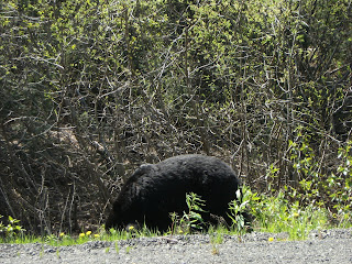
1840 km - Our black bear sighting count has increased to 6 so far. No grizzlies yet. But we did see a porcupine.
1856 km - Make our count 9!
1926 km - Ouch! 148.9 ₵/L for gas in Bell II, one of B.C.'s most ridiculously named communities.
1991 km - Finally we have escaped the clutches of the nefarious CBC, we are unable to pick up any radio signals and the MP3 player is out of juice. I am slowly going crazy, 1, 2, 3, 4, 5, 6, switch.
2011 km - Holy fuck! Brenda's swift action just saved the trip, and the Loon's brakes saved us from injury. A black bear bolted out on to the road and we just missed it, seriously, like within a foot or two. Holy fuck. Our bear count is now at 11.
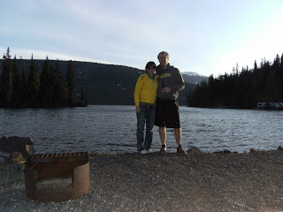
 Setting up at Kinaskan Lake.
 Another gorgeous spot.
 Nice pokey stick.
2046 km - We have our first campfire of the trip going now, it was too windy yesterday. Once again we are right on the water, today we are on Kinaskan Lake. Also once again we are the only intrepid explorers with a tent, everyone else has RVs or are sleeping in their trucks. We are also into the vodka for the first time on our trip and I am full of hot dogs, life is good.


